
Our student Javier Real Valdés has presented his BSc thesis "Tratamiento y visualización de datos urbanos obtenidos por un enjambre de drones" ("Treatment and visualization of urban data obtained by a drone swarm").
This work was focused on the treatment of the urban data provided by the aerial swarm, such as measurements of temperature or contaminant gases and detections of cars or pedestrians. This treatment aims to remove the redundant data and discover the relevant information. For this purpose, it applies Gaussian processes and neural networks.
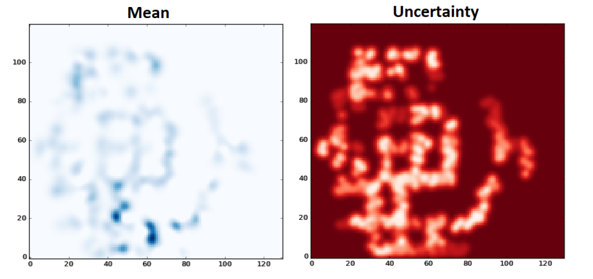
Gaussian processes are used to fuse the data provided by drones and obtain information referenced spatially and temporally. The spatial resolution and temporal window must be tuned to the specific variables to obtain valuable information. For instance, the spatial and temporal variabilities are wider for cars and pedestrians than for climate and pollution.
Convolutional neural networks are applied to analyze the generated maps and determine the points of interest. These neural networks are trained with a set of maps manually tagged by an operator. Therefore, these evaluations have not only an objective part (e.g. the points with higher traffic are remarked), but also a subjective part (e.g. the operator choice between multiple traffic jams).
Finally, an immersive interface was developed to visualize the information of the city. This interface takes advantage of virtual reality to reproduce the city and overlap the maps of temperature, pollution, traffic and pedestrians. The resulting interface was comfortable and intuitive as shown by the following video.
We are preparing a scientific paper with the full details of this work!
No hay comentarios:
Publicar un comentario